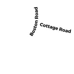
15 BOSTON RD
Owner Information
REID STEVEN
15 BOSTON RD
ANDOVER, MA 01810


Property Details
15 BOSTON RD is classified as a Single Family Residential (Cape).
The primary structure on this property was built in 1948. There are 1,470ft2 of built area within this property. There is 1,470ft2 of residential/living space within this property. This property is listed as having 7 rooms.
15 BOSTON RD is valued at $438,200. The land is valued at $250,400 and the structures are valued at $187,800.
This property is in Zone SRC. Confirm with local Zoning Board authorities to ensure there are no overlays or other easements on this property.
The most recent deed for 15 BOSTON RD is recorded at the local registrar in Book 15848, Page 61. 15 BOSTON RD was last sold on Friday, May 17, 2019 for $410,000.
Assessment data from fiscal year 2021.
Flood Data
According to the FEMA National Flood Hazard Layer, this property does not appear to be in a flood zone. It may also be in an area not yet reviewed. Nonetheless, confirm this information prior to taking any action.
To view the flood hazards around this property, create a FEMA "Firmette" Map of the area around 15 BOSTON RD.
Broadband Internet Providers
| Provider | Type | Bandwidth (mbps) | |
|---|---|---|---|
| Viasat Inc | Satellite | 100 | 3 |
| VSAT Systems, LLC. | Satellite | 2 | 1 |
| HughesNet | Satellite | 25 | 3 |
| GCI Communication Corp. | Satellite | 0 | 0 |
| Comcast | Cable | 1000 | 35 |
| Verizon New England Inc. | Fiber | 940 | 880 |
Broadband service provider data from December 2020.
Adjacent Properties
- 17 BOSTON RD
Single Family Residential owned by BYRNE FRANCIS P - 15 R BOSTON RD
Potentially Developable Residential Land owned by REID STEVEN - 9 BOSTON RD
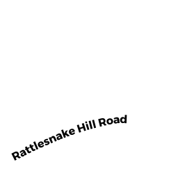
Single Family Residential owned by BOWDEN JAMES W - 26 RATTLESNAKE HILL RD
Vacant, Conservation (Municipal or County) owned by TOWN OF ANDOVER - 28 RATTLESNAKE HILL RD
Vacant, Conservation (Municipal or County) owned by TOWN OF ANDOVER - 19 AR BOSTON RD
Undevelopable Residential Land owned by FORSYTHE GLENN - 17 R BOSTON RD
Vacant, Conservation (Municipal or County) owned by TOWN OF ANDOVER